
Mapping the Colorado River Basin
For a High Country News investigation into the 1922 Colorado River Compact, I created a lead cartographic illustration and a series of supporting editorial spots. The reporting examines how foundational water laws excluded Indigenous tribes, despite their established senior water rights. To anchor this dense legal and environmental history, the map centers tribal nations across the basin's geography. This establishes a clear visual record of Indigenous presence and infrastructure, bridging strict geographic data with atmospheric world-building.

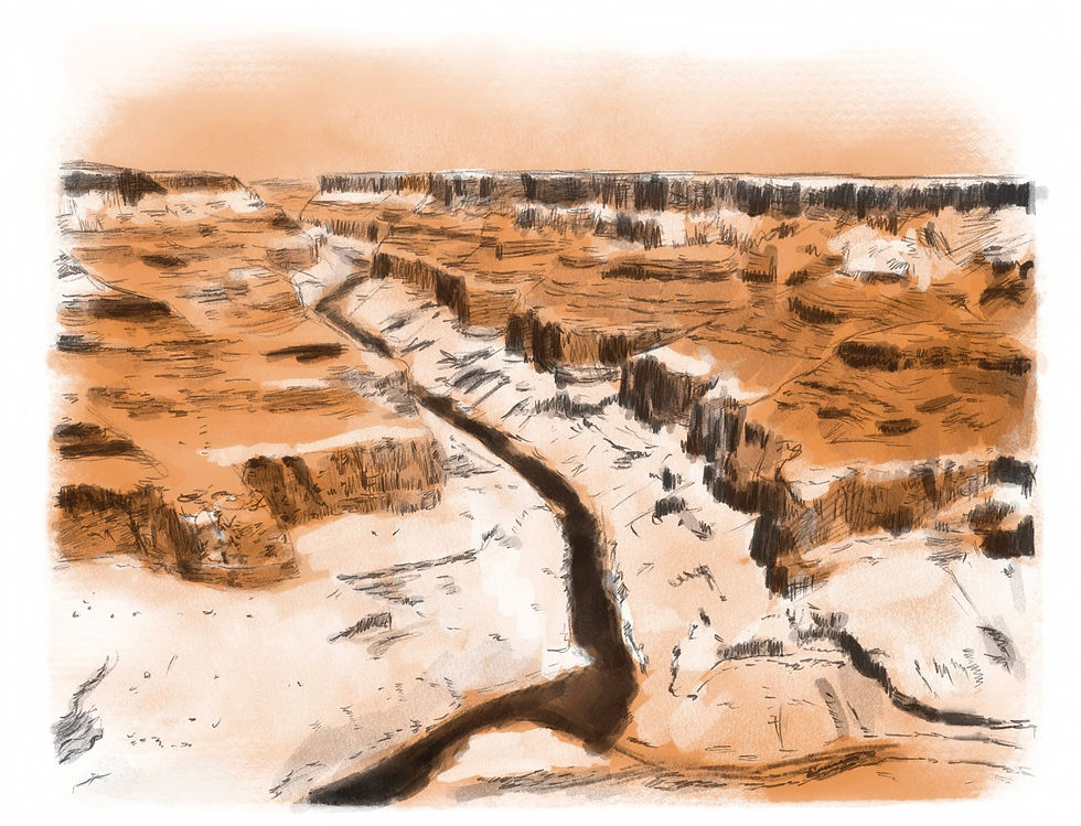
A map for this specific narrative must do more than outline state borders; it needs to address a historical omission. By rendering the basin with hand-drawn textures and grounding the geography in a recognizable physical reality, the cartography highlights the deep, continuous relationship between the tribes and the river.
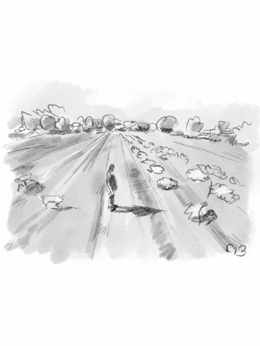
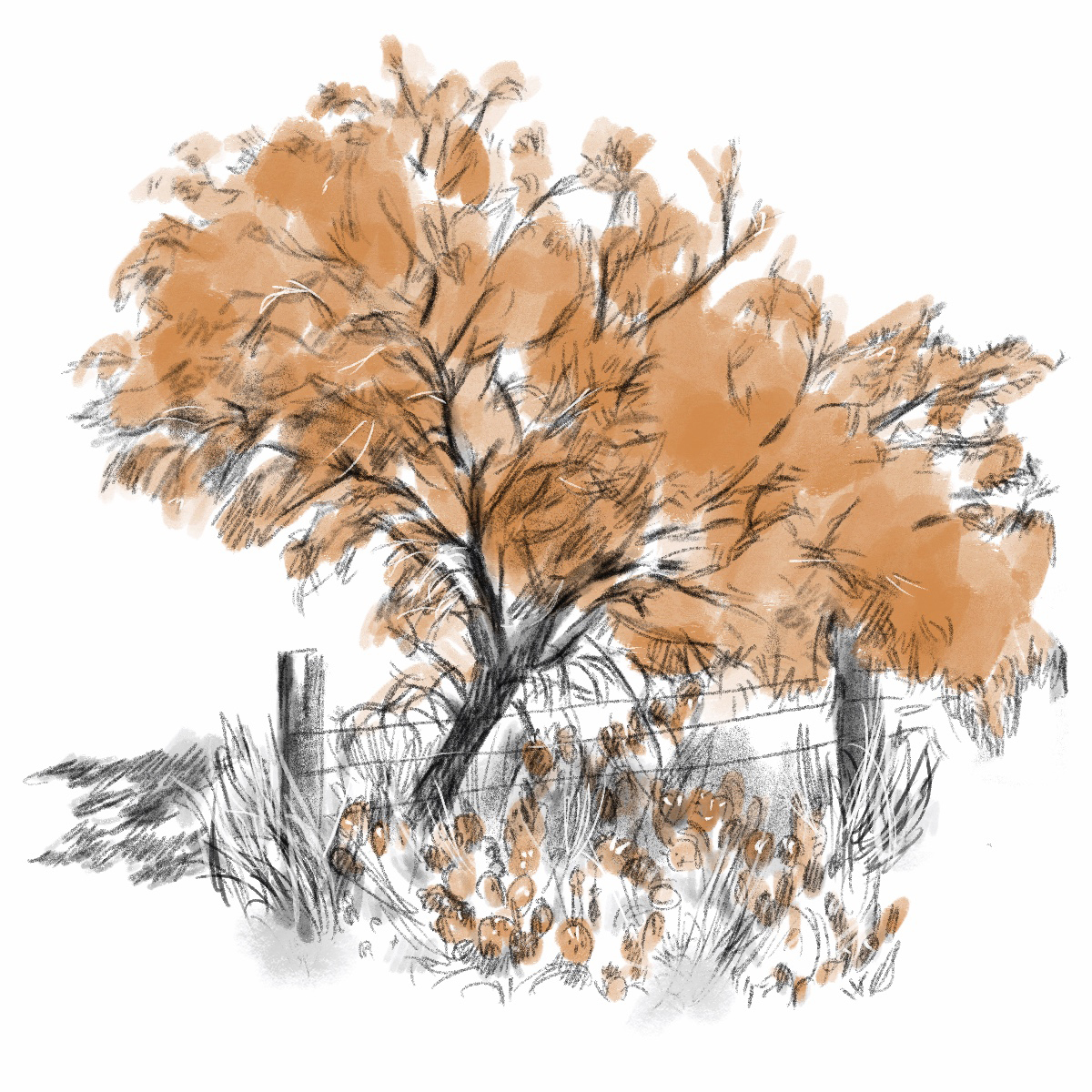
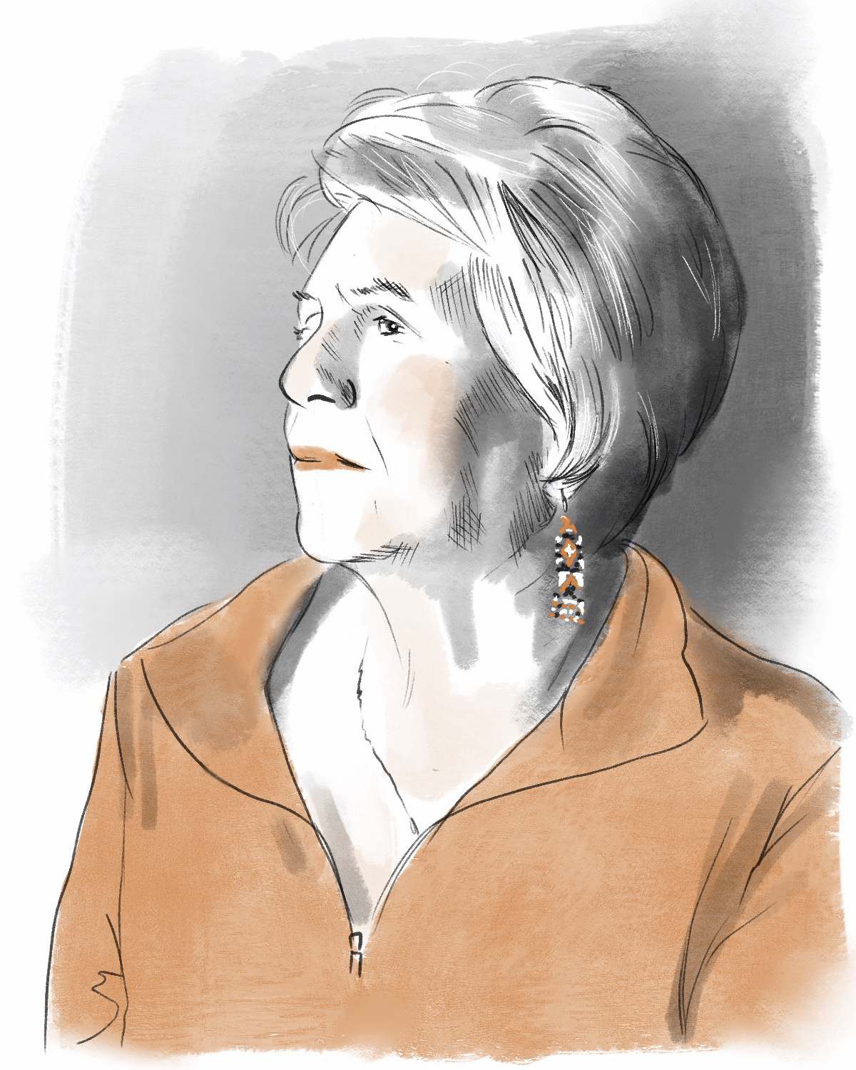
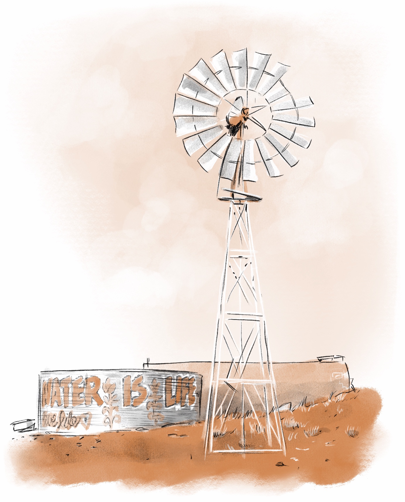
The accompanying spot illustrations provide a human scale to the macro-level cartography. Portraits of key figures and vignettes of the shifting landscape break up heavy legal reporting. This approach invites readers to engage directly with the human stakes of the water crisis in the West.
Supporting
Editorial Assets


A selection of spot illustrations accompanying the main feature. These portraits and vignettes work in tandem with the lead map to build a cohesive visual identity for the reporting, balancing stark environmental realities with warmth and human focus.
Functional and Placemaking Cartography
Clayton State University

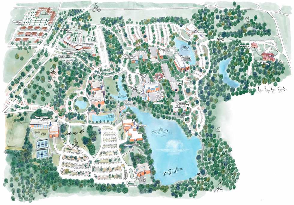
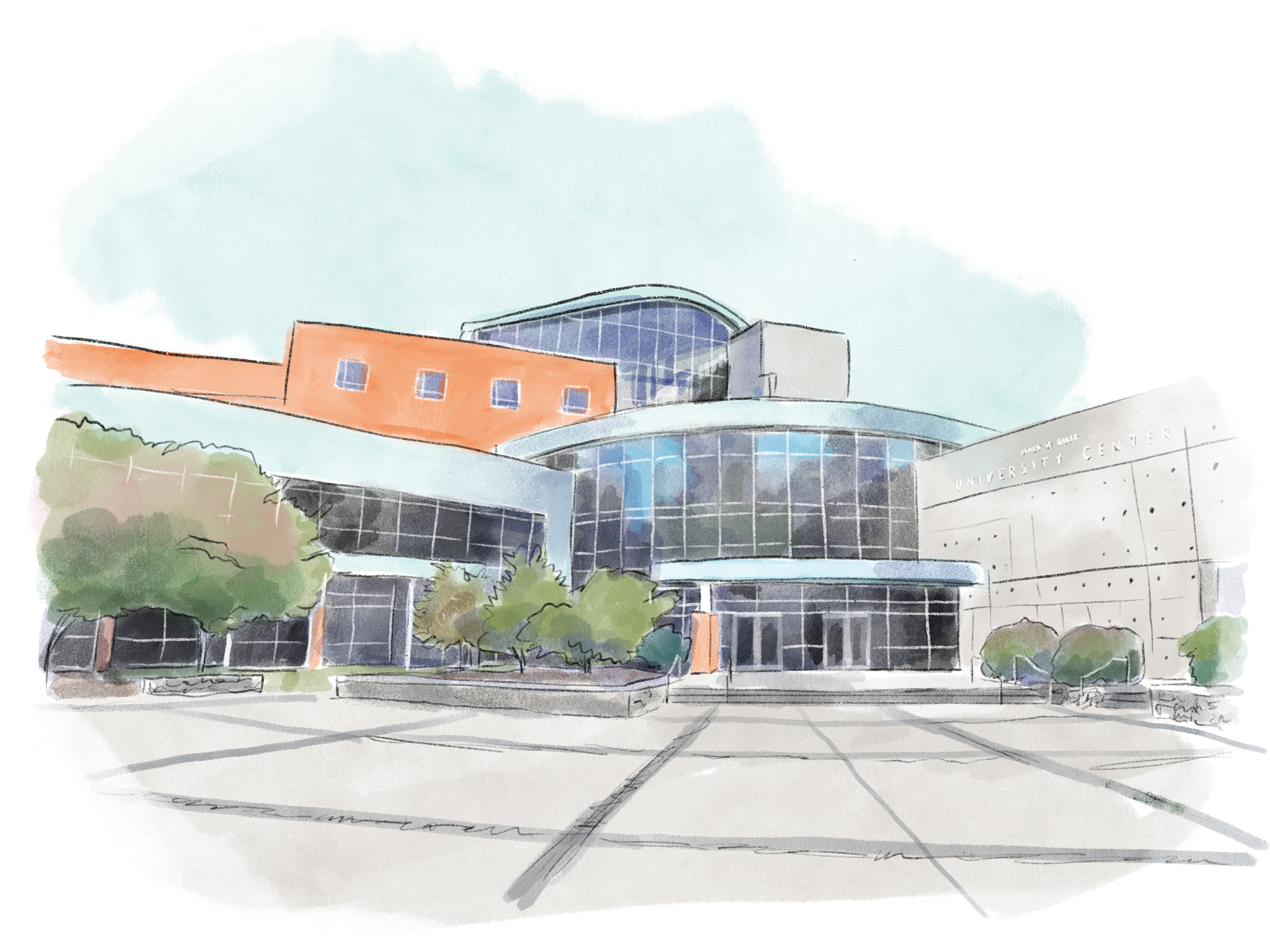
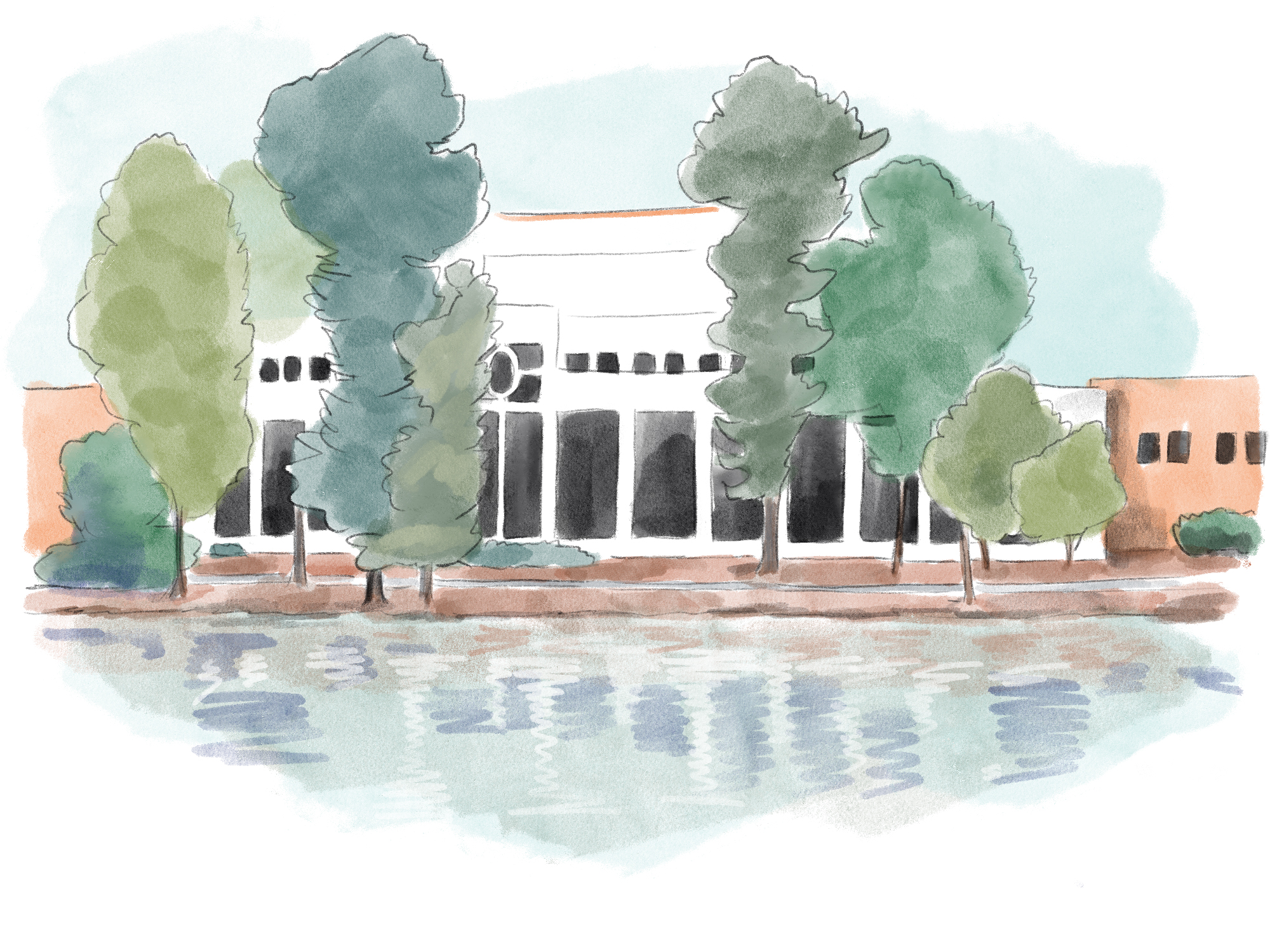
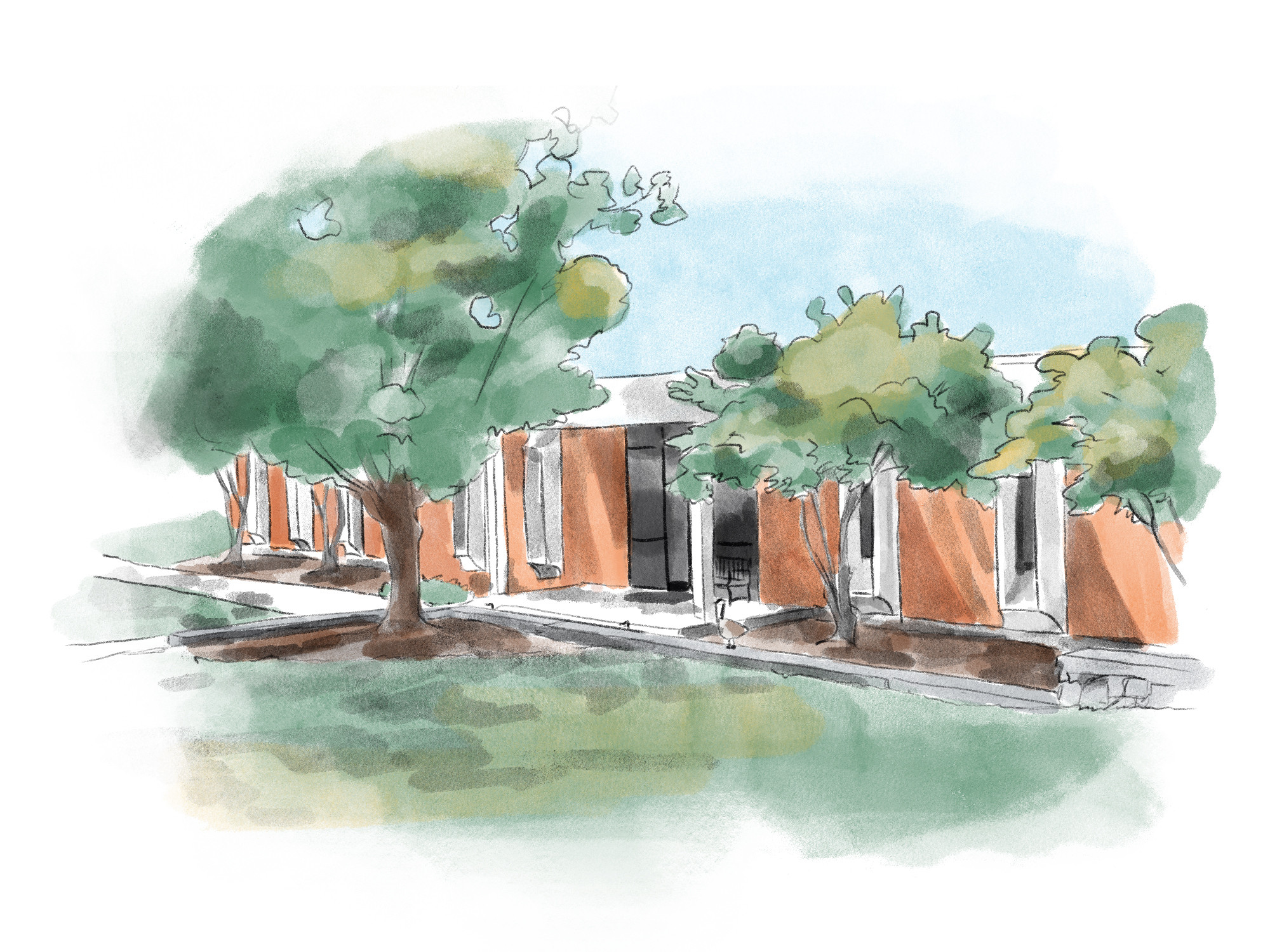
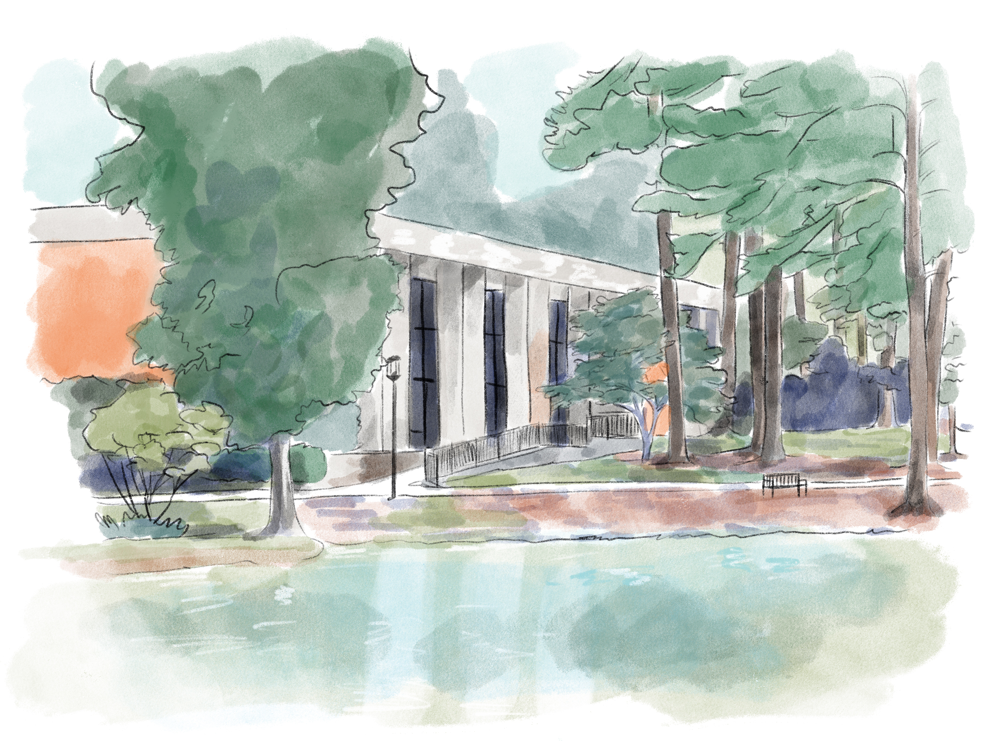
Clayton State University required a comprehensive cartographic system for their digital interactive map, physical campus kiosks, and printed collateral. While strict spatial accuracy was crucial for wayfinding, the university also needed the final design to feel warm, approachable, and fun. By applying a hand-drawn aesthetic to exact topographical and architectural data, I built a functional navigational tool that also establishes an inviting, human-centered sense of place for students and visitors.







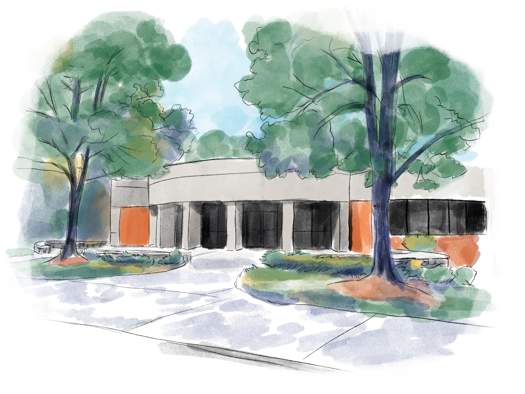
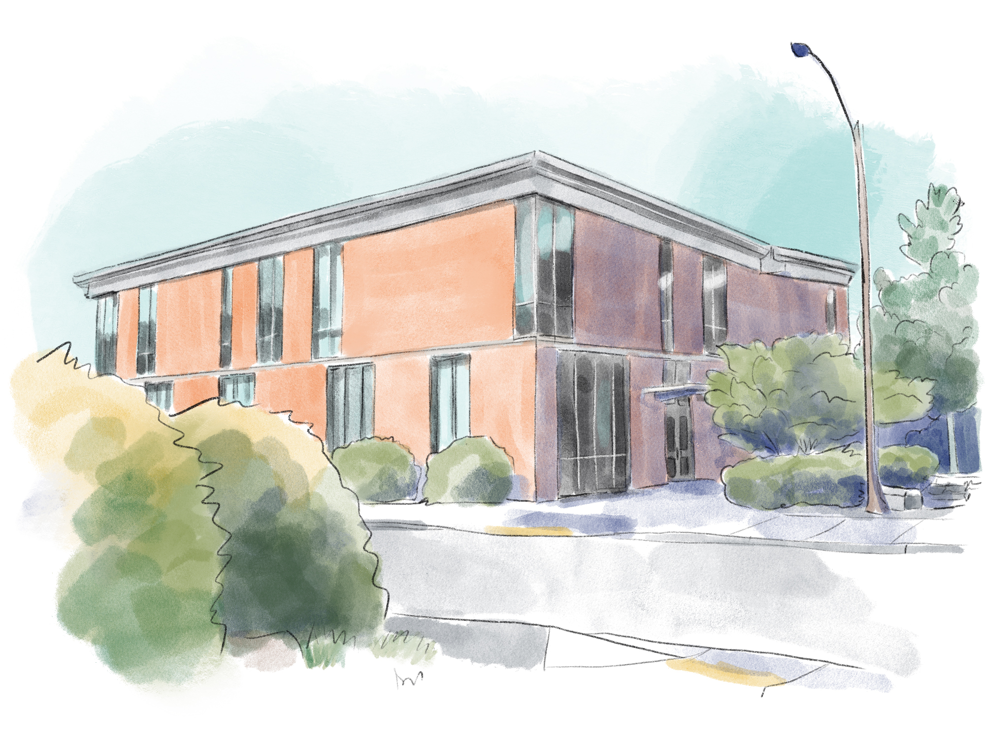
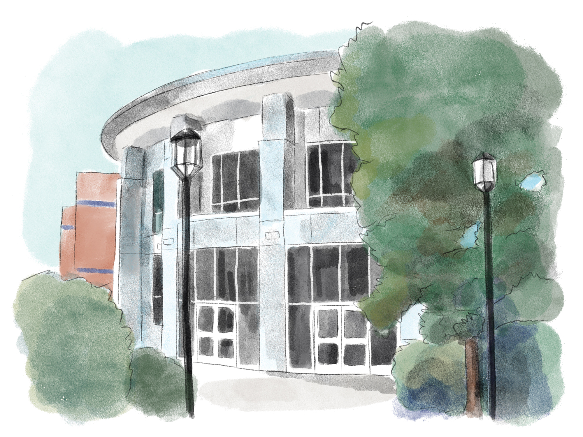
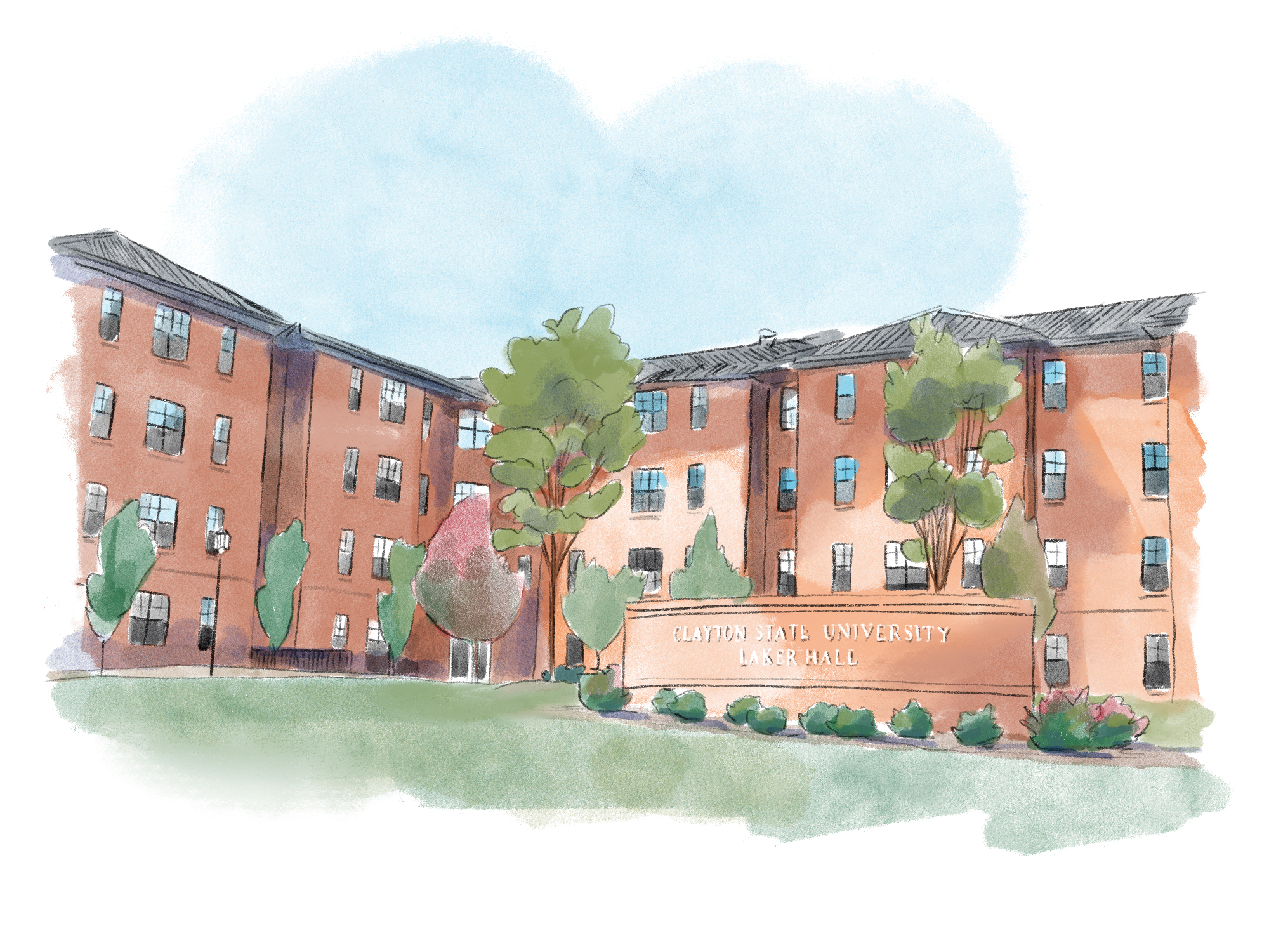
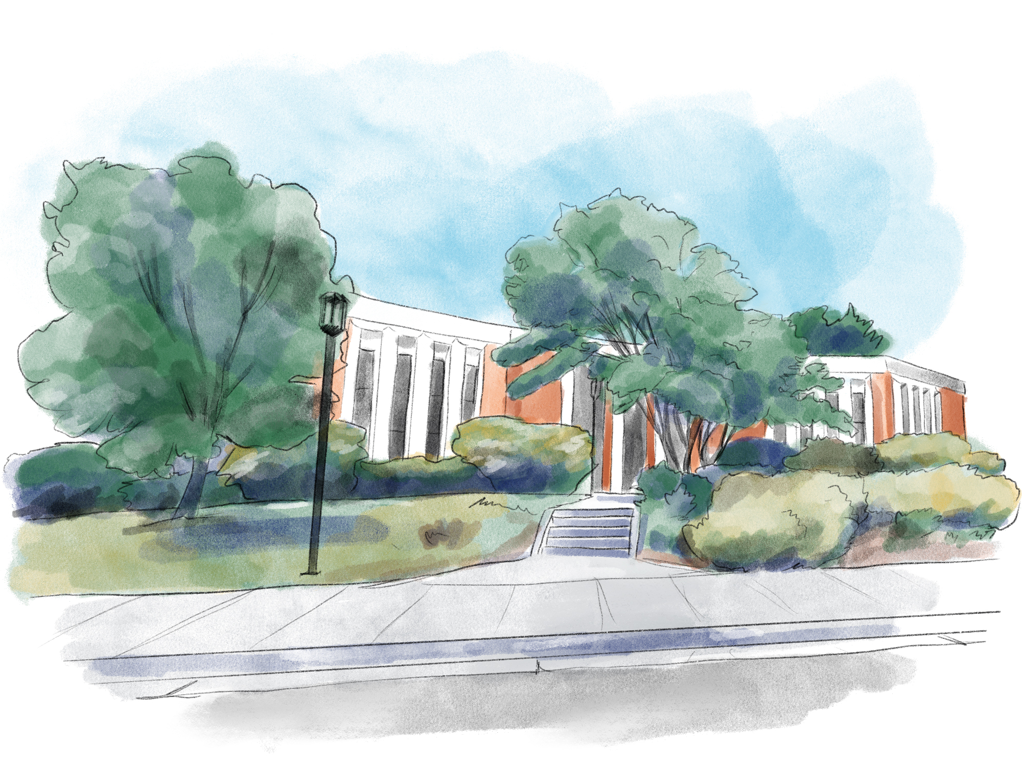
Modular Placemaking Assets
Beyond the primary map, Clayton State required a suite of individual building illustrations to serve specialized placemaking roles. These assets function as standalone spots for departmental use, allowing the library, arts programs, and individual colleges to feature their specific facilities across localized marketing and communications. This modular approach ensures a cohesive visual identity across the university's entire digital and physical presence.
Selected Cartography
This collection highlights standalone mapping projects designed for publishers, commercial spaces, and narrative travel guides. Each piece translates strict geographic data into a textured, human-centered visual experience.
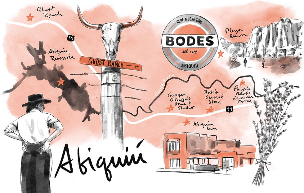
wildsam's santa fe field guide
A Daytrip to Abiquiu, New Mexico
Capturing the distinct environment of Northern New Mexico. Hand-drawn landmarks anchor regional travel recommendations within a rich cultural and historical landscape.

East Boston Neighborhood
East Boston Oysters & Grocery
Anchoring a new storefront within its neighborhood. Commissioned for a grand opening, this map celebrates the brand's connection to East Boston while highlighting a curated selection of specialty inventory.

The Colorado Sun
Historical Markers in Colorado
Mapping the lesser-known milestones of state history. Commissioned by The Colorado Sun, this piece transforms a catalog of quirky roadside monuments into a cohesive, character-driven reading experience.
Wildsam's in the neighborhood series
Nashville's 12 South Neighborhood
Transforming a static city grid into an engaging local activity. Part of a larger five-city series of neighborhood scavenger hunts, this piece guides foot traffic through curated cultural touchstones and local businesses.
